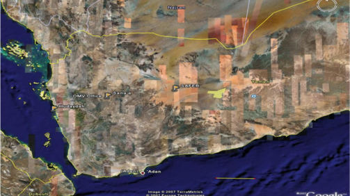
Geological mapping along seismic lines and structural study
In September 2014, we started a 3-month project to perform detailed geological mapping of a total of 350 kilometers of 2D seismic lines. The project included 40 days of fieldwork with the seismic acquisition team to identify and map all geological outcrops along the seismic line path.


